A Collection of selected maps of Iran in the Qajar Era
This collection contains 500 pages of handwritten map and stone printing of Iran at the time of Qajar. The collection was registered on Iran Memory of the World list in 2013.

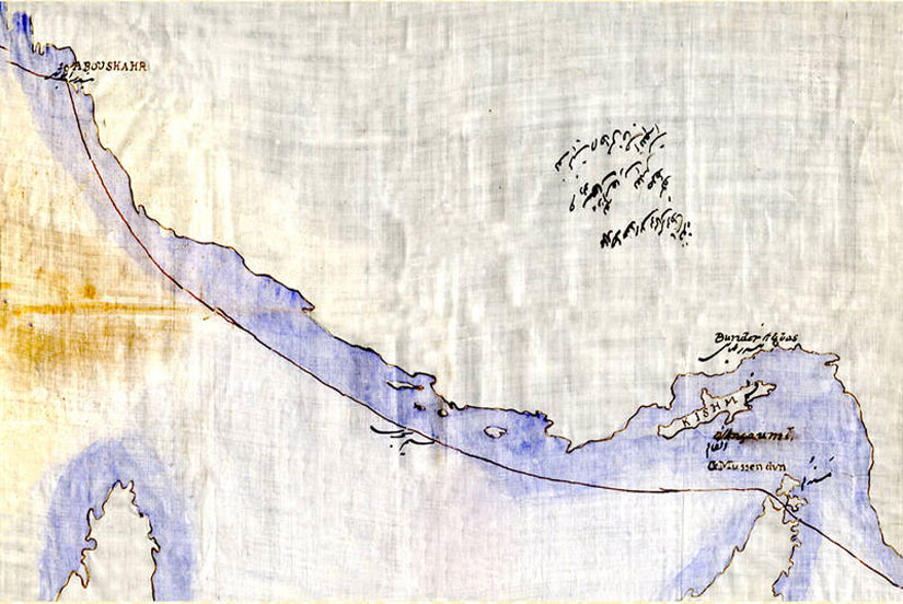
This collection is based on an annexed list of handwritten and lithographic maps prepared according to the geographic location of the Iranian Plateau as part of the historic Silk Road as well as the junction of the North-South Corridor. This research documentary is an important source for studies of the cultural, historical, natural and human geographical environment of different regions of West Asia. Although the maps were drawn by Muslim and Iranian geographers, dating back to the 9th century, scale-based mapping began with the establishment of the first higher education center, the Dar ul-Funun, in 1850, Tehran. The first Iranian cartographers made drawings on the following topics, using common measures of then:
- Water resources and water transfer methods such as aqueducts, Persian Qanats in the low-water area of the Iranian plateau and natural ecosystems such as wetlands
- States and Territories: Population Distribution and Climate Characteristics
- Maps of the process of construction of new cities, buildings, roads, civilizations
What made this collection differs from the rest is that this map collection includes notes, descriptions, signatures, approval of map margins. So far, no similar collection has been registered worldwide.

Where is it now?
A Collection of selected maps of Iran in the Qajar Era include lichens metrics, as well as marking cities, populations, boundaries and water resources. The collection is currently in the Department of State's Study Documents Center in Tehran.
Related Tags:
We love to hear your comments